Three-dimensional route
Three-dimensional route operation process (RTK installed)
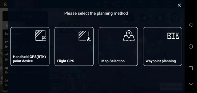
After the APP connects to the aircraft, enter the “Planning Land” interface and select “3D Route”
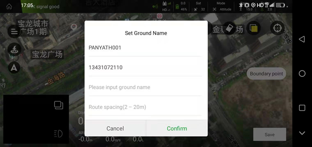
Enter the name of the plot and the route distance, click “OK” in the lower right corner
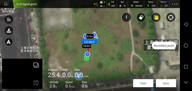
After the plant protection aircraft takes off, use a suitable height to step on, as shown in the figure below, click “Save” in the lower right corner after completion
In “My Land”, select the saved land, click “Task Assignment” in the lower right corner, click “OK”, the task is assigned successfully.
3D continuous route: when the route is flying, the aircraft will always spray
3D fixed-point route: when the route is flying, the aircraft will rotate and spray on the waypoint
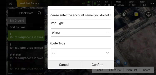
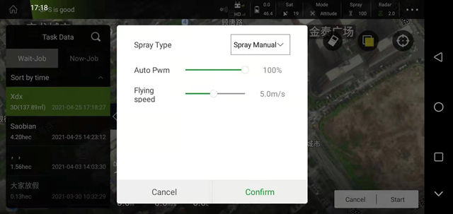
Find the assigned route in “Perform Job”-“Pending Job”. After selecting the route, click “Execute Job” in the lower right corner. After confirming the job parameters, click “OK” and follow the procedure to execute the 3D route normally. task
Surface area: the real area of 3D topographic operations (slope area)
Projection area: the two-dimensional area projected by the three-dimensional terrain operation (a large difference from the actual operation area)
Pump opening: the actual spray opening of the pump during operation
Circle: After opening, the aircraft will perform autorotation spraying
Number of laps: After turning on the lap switch, you can set the number of laps
Flight speed: the flight speed during route operations
